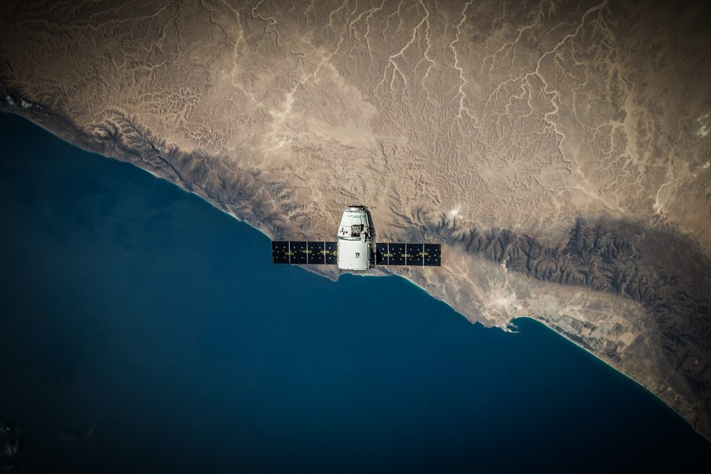


This is an applications oriented course which will cover an introduction to GIS and Remote Sensing as tools to better address engineering, environmental and sustainability issues in real world applications. The course will take you through the main stages of a geospatial problem solving cycle: from the identification of a geospatial problem, via the exploration and analysis of map data and RS images, to the generation of relevant geospatial information. Throughout the course you will develop hands-on experience in using selected software tools – ArcGIS Online, ArcGIS Pro with Image Analyst and RS dedicated free software (SNAP) from European Space Agency.